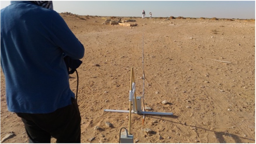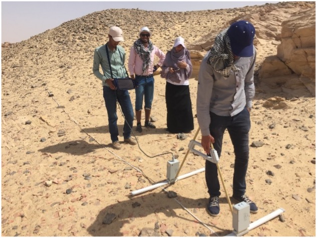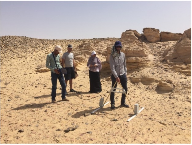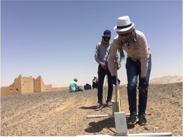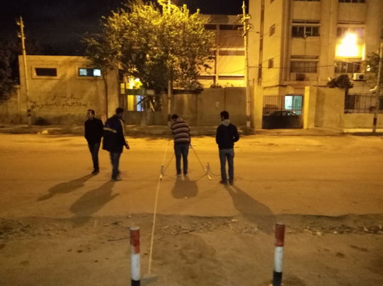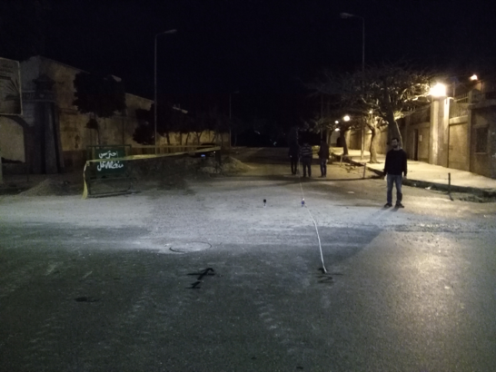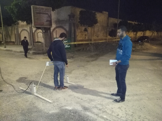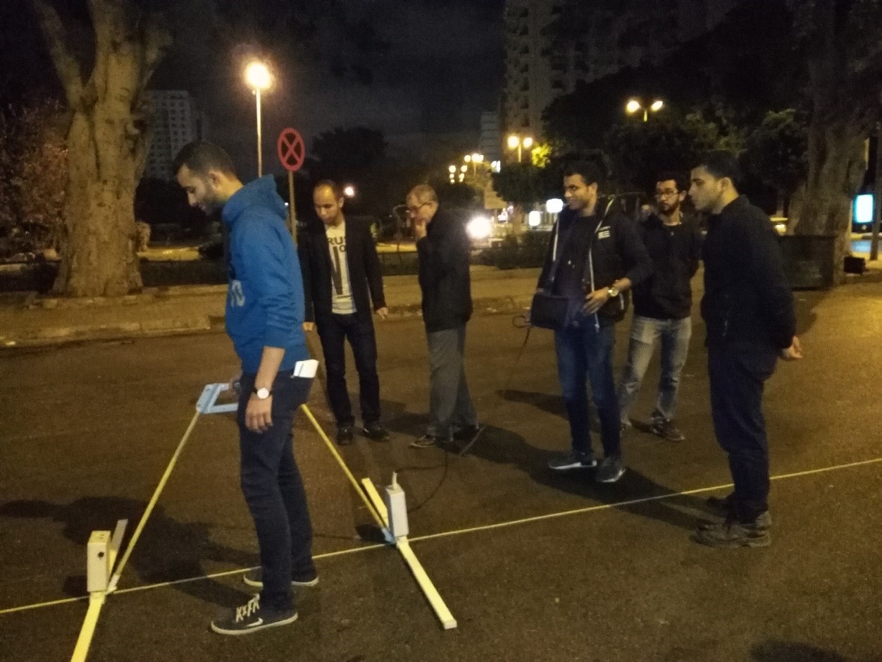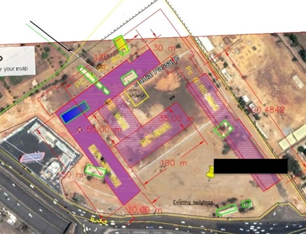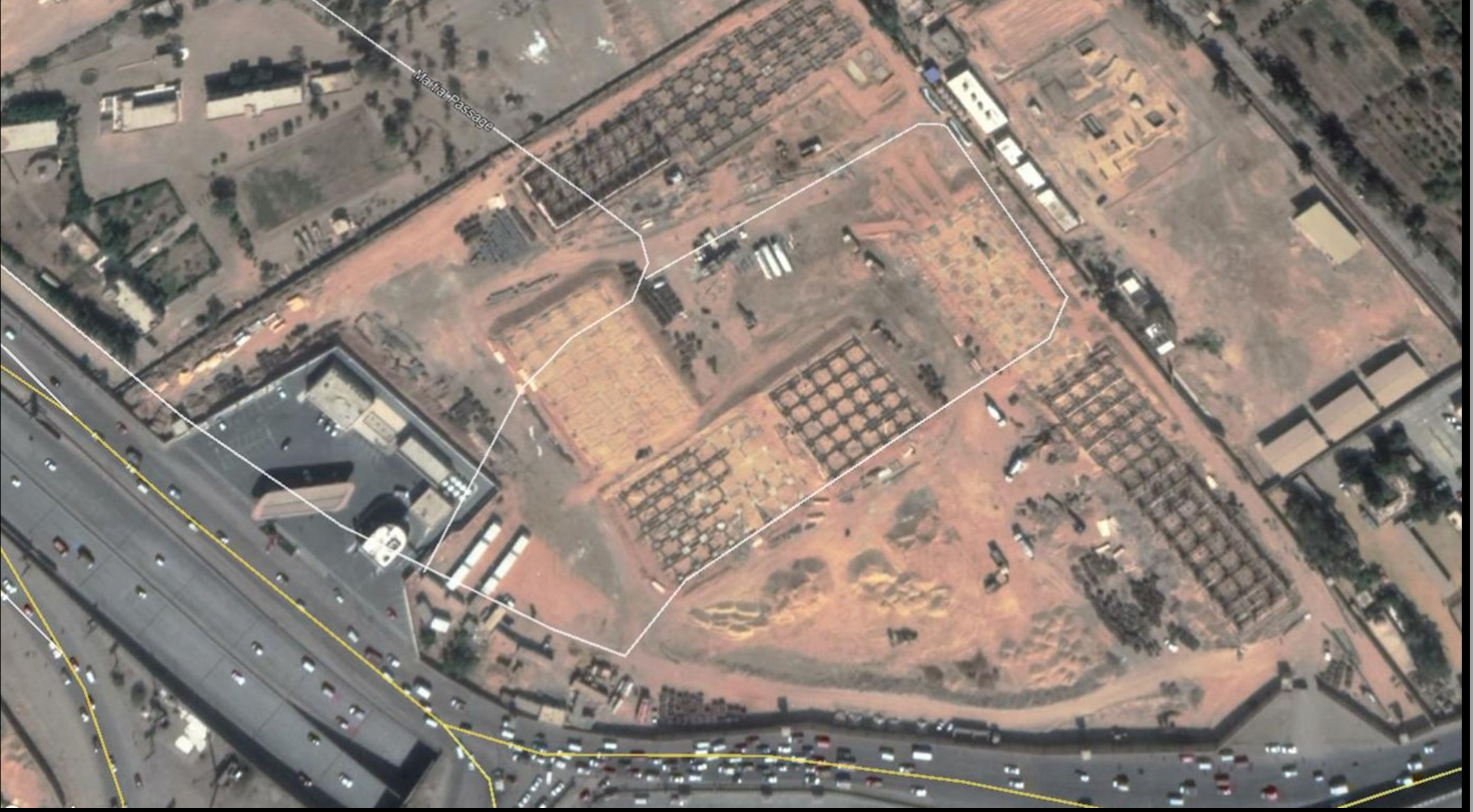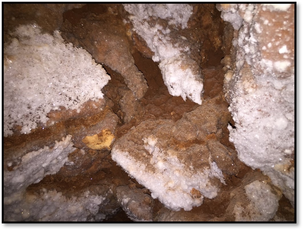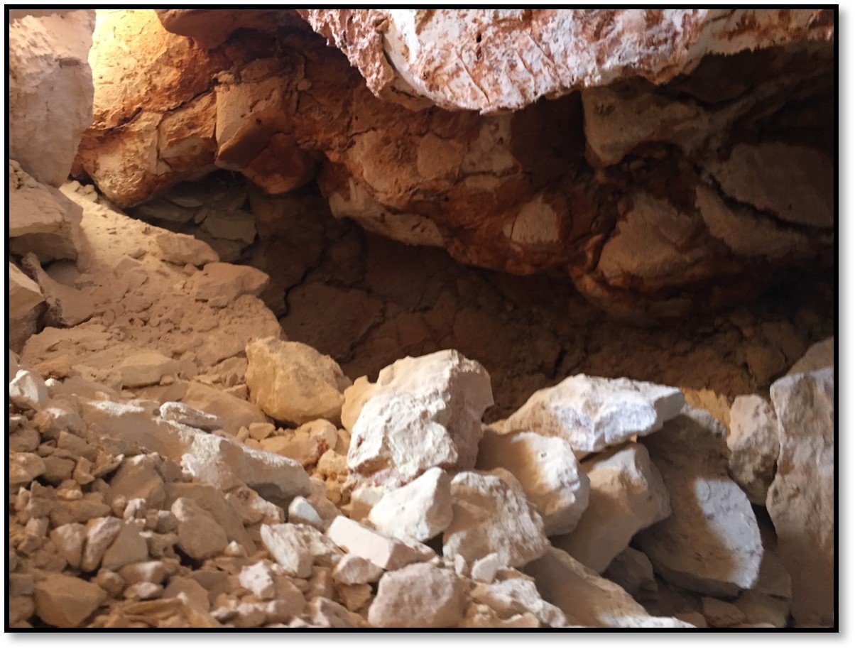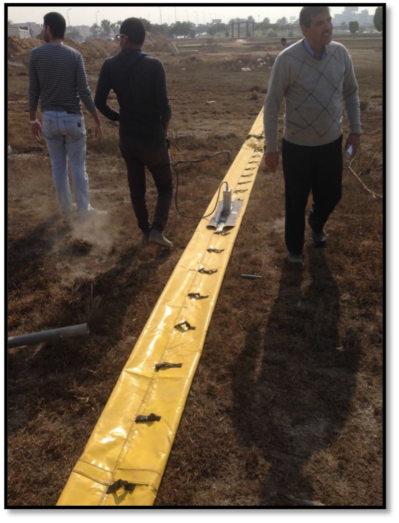
GPR Archeology
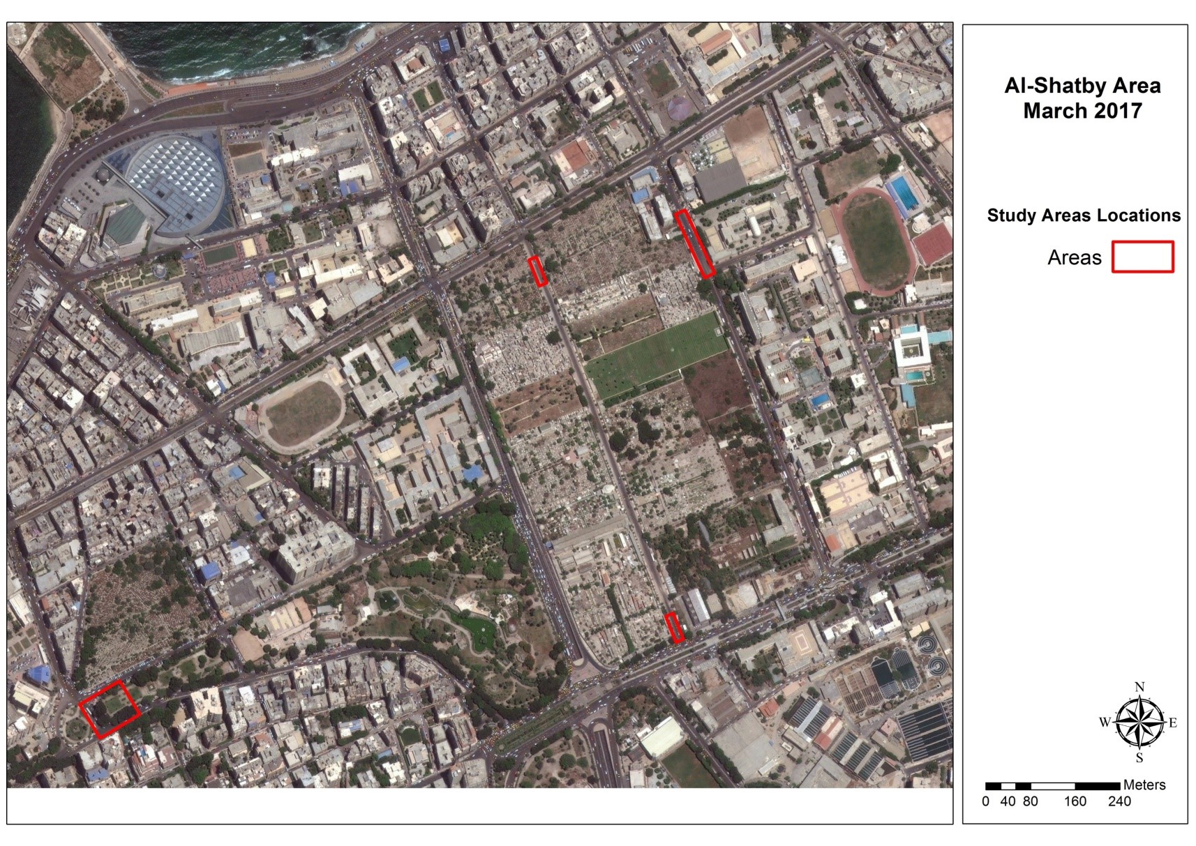
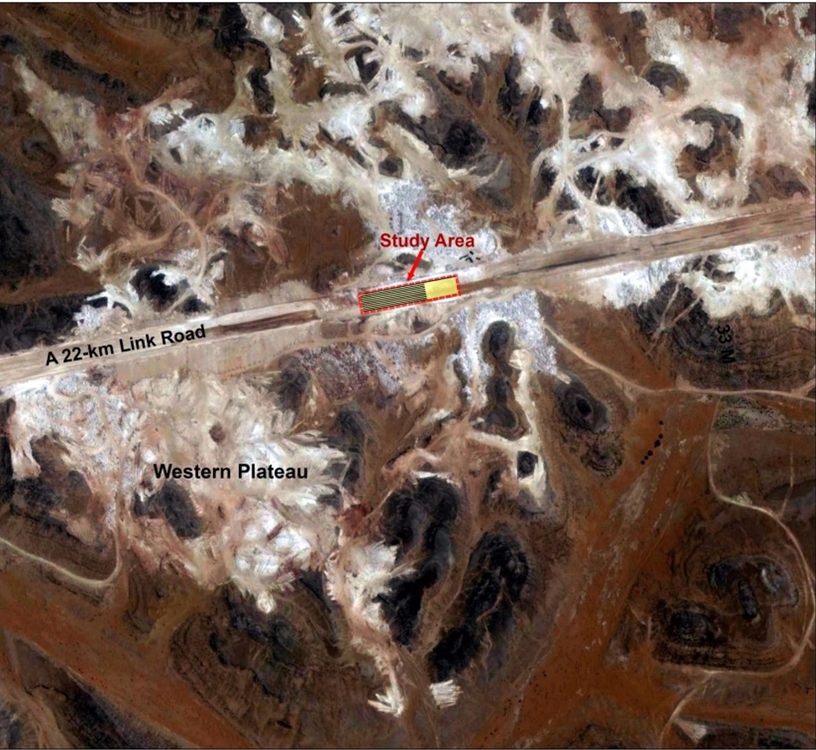
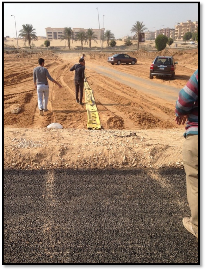
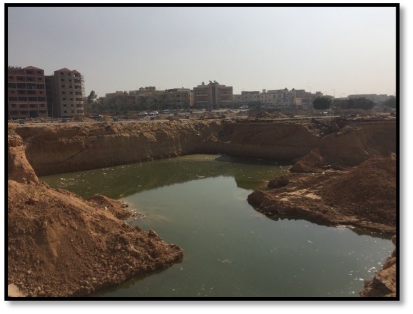
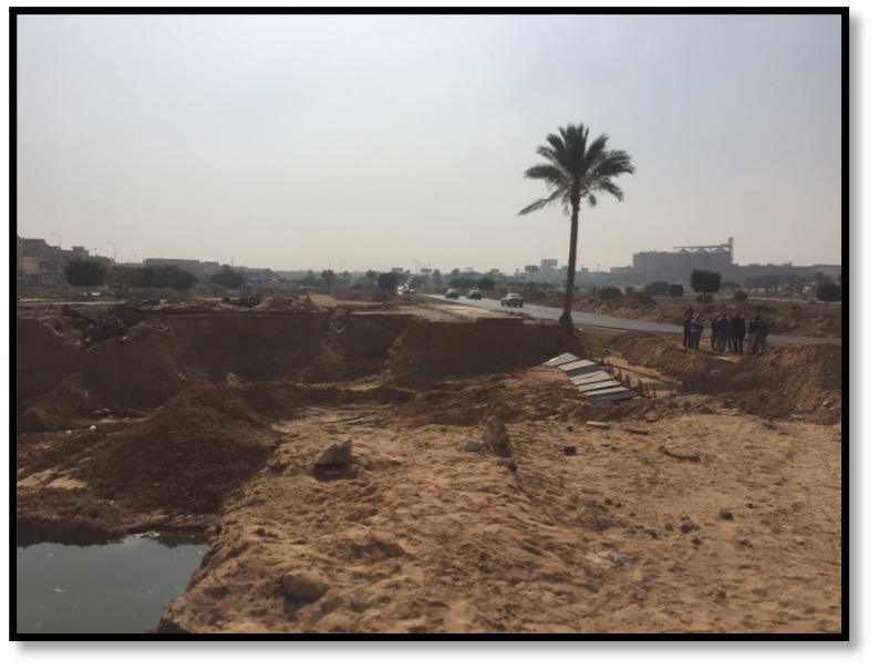
Alamein New City
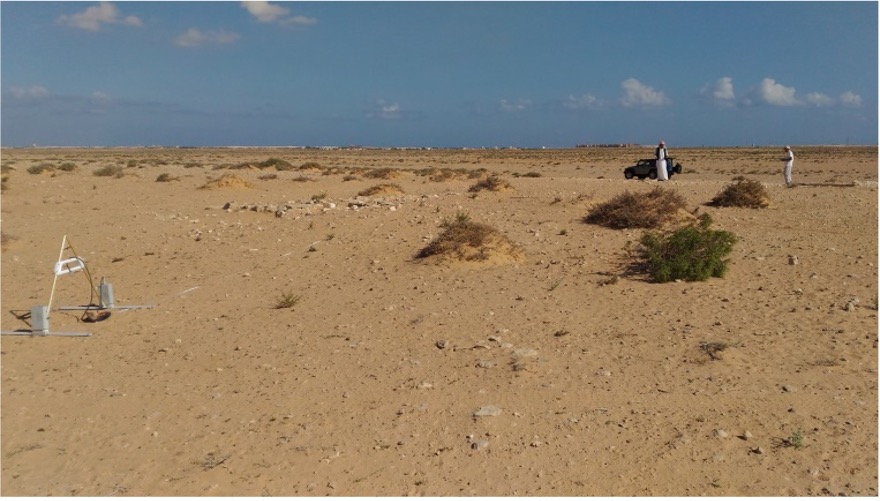
Project Objective:
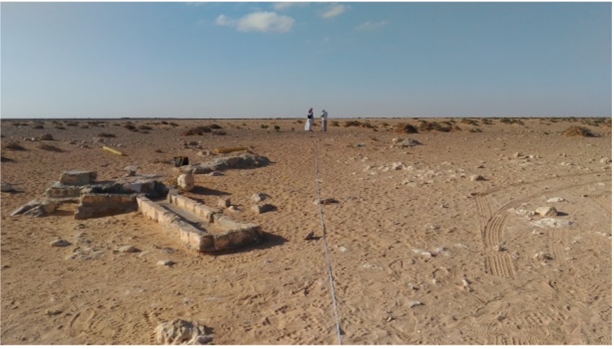
Investigating project land to ensure it is clearness from any archeological sites.
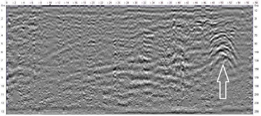
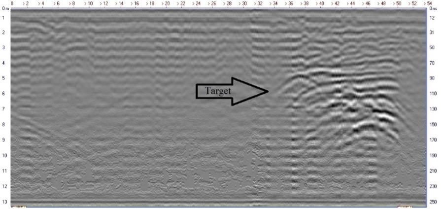
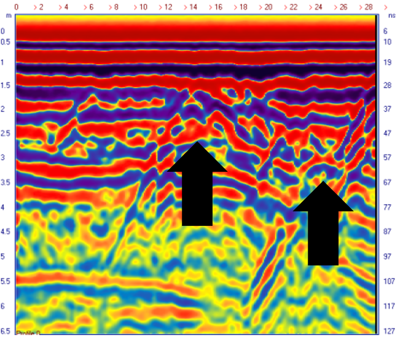
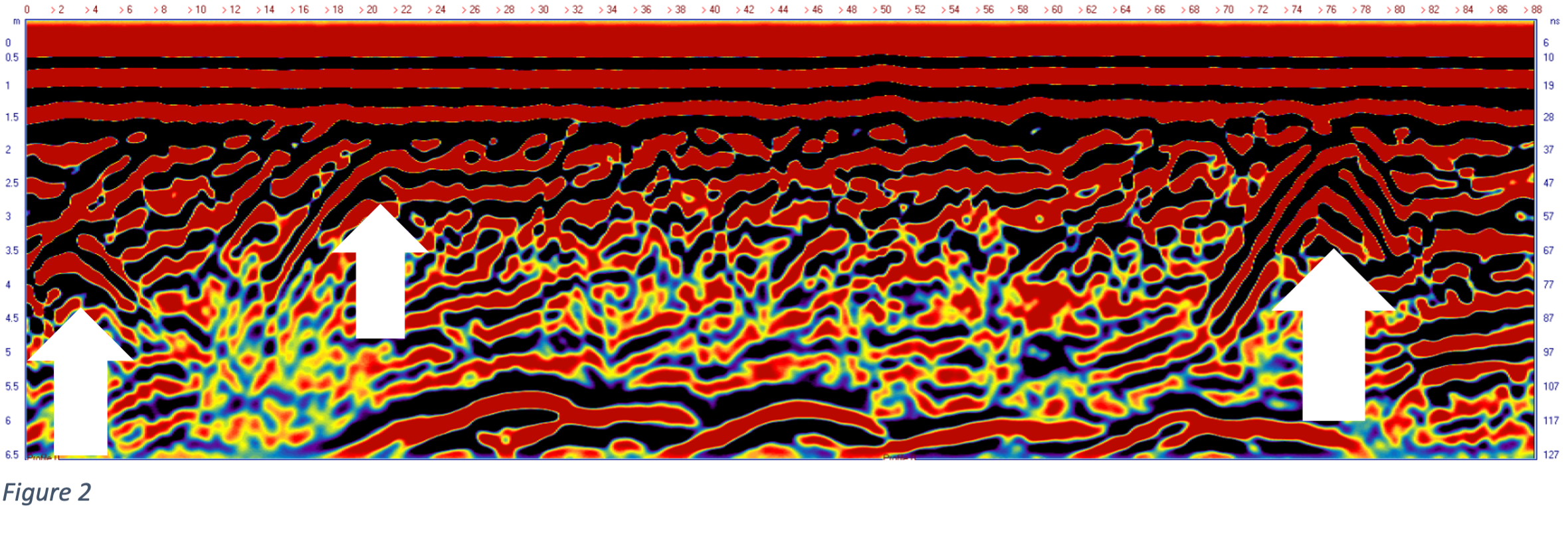
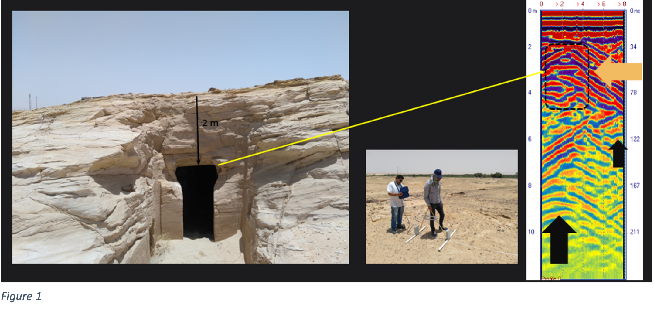
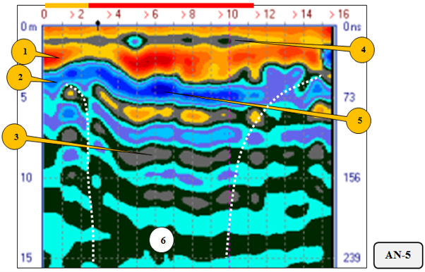
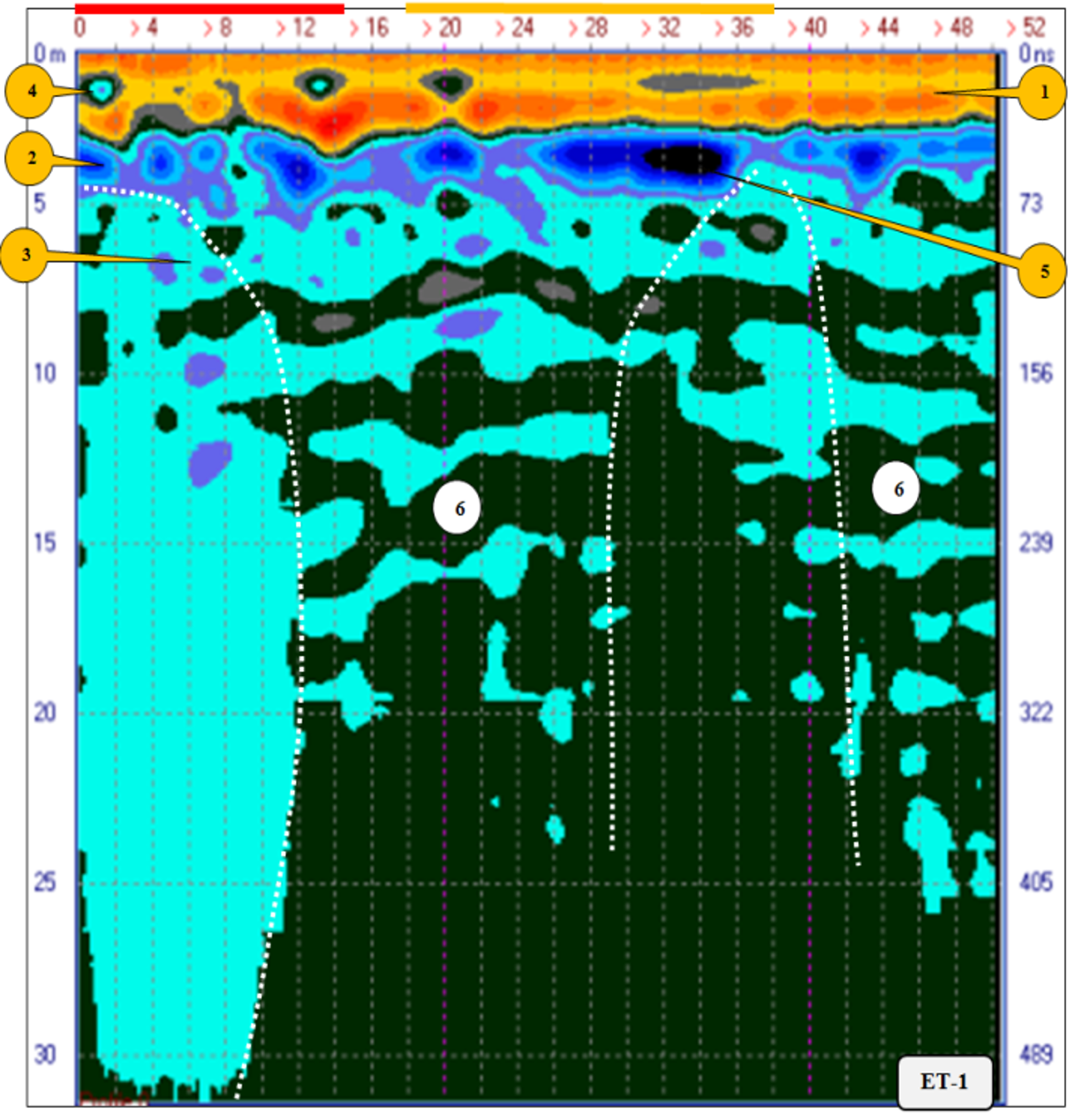
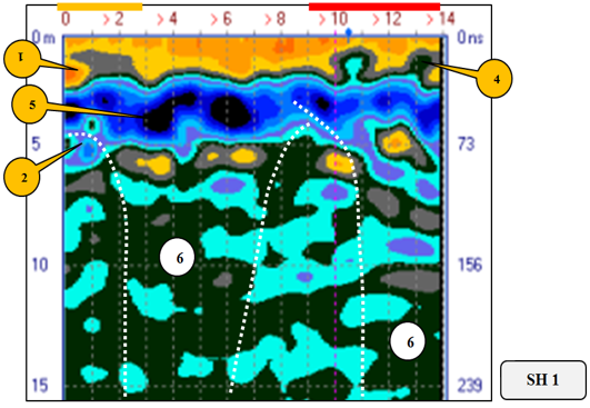
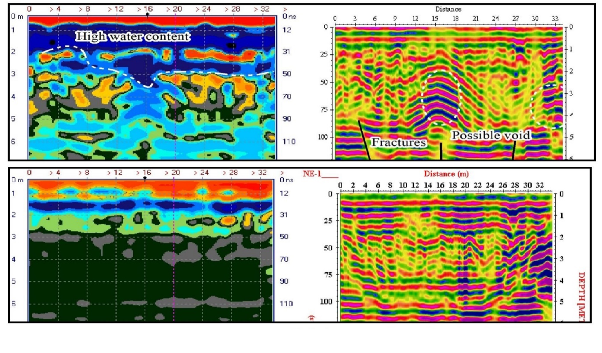
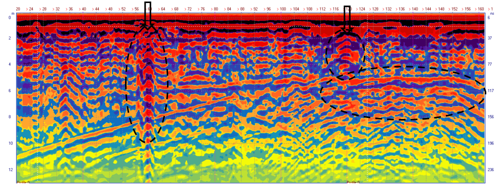
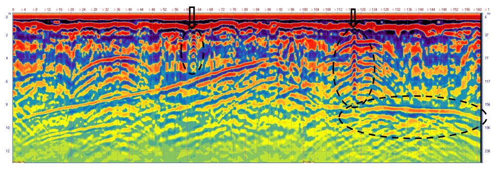
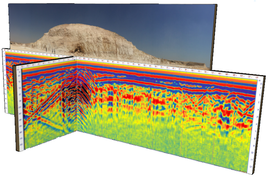
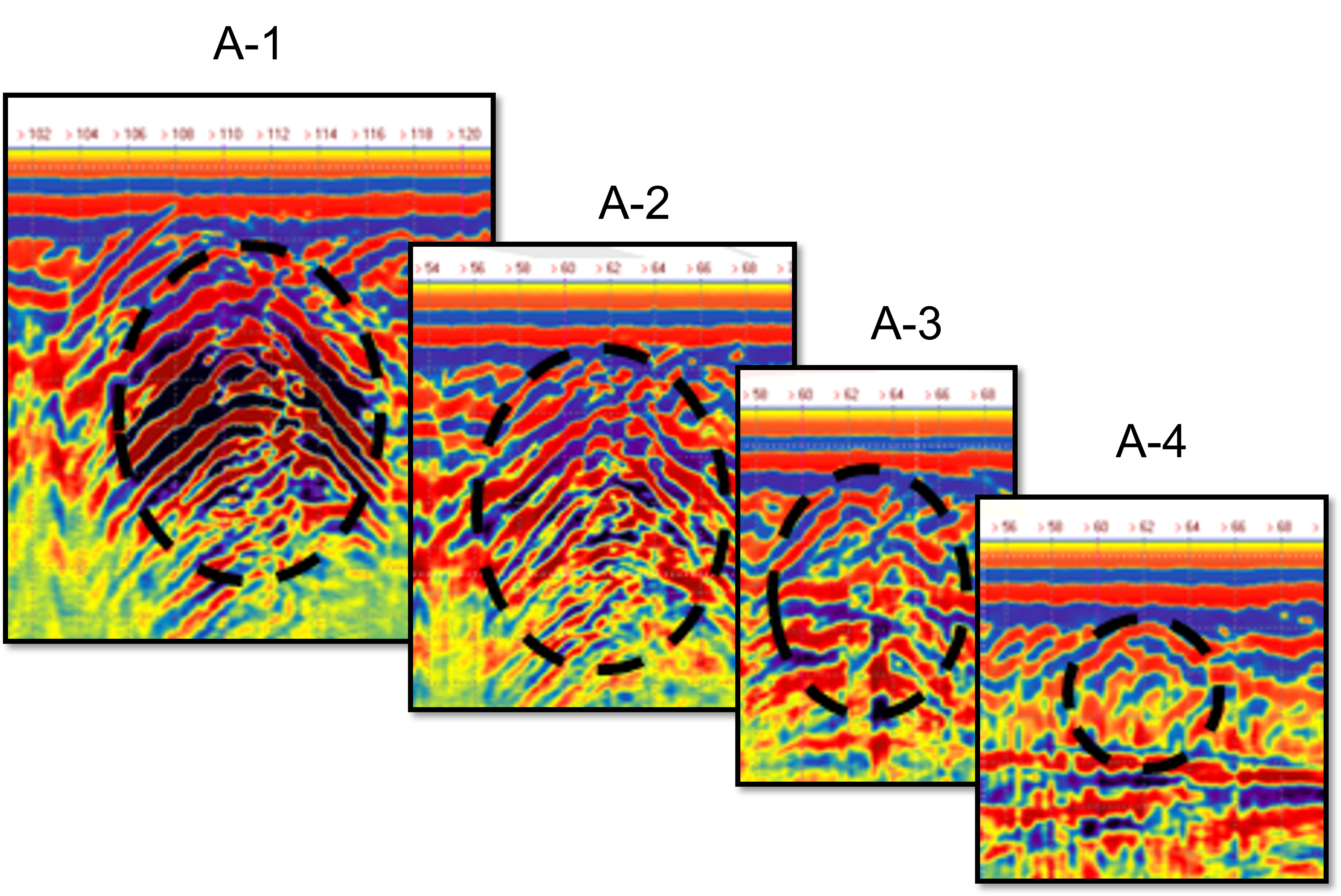
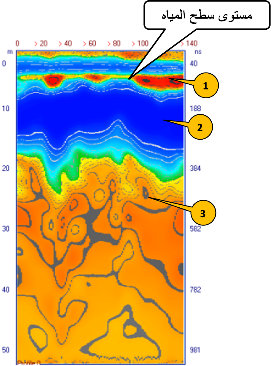
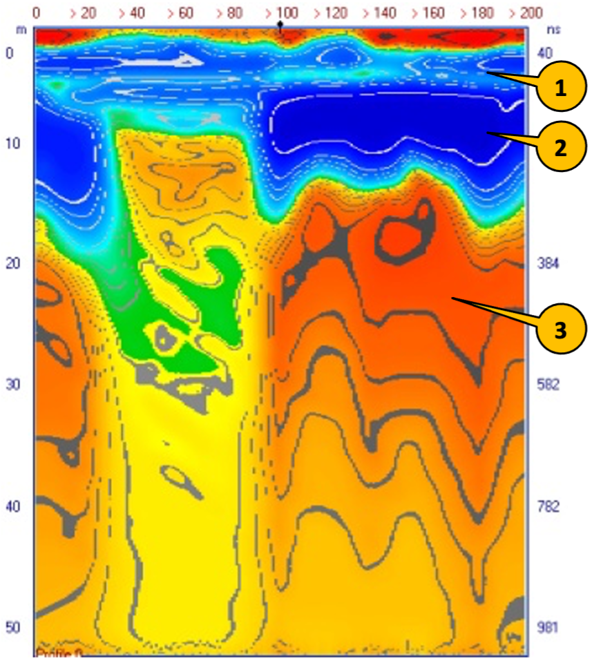
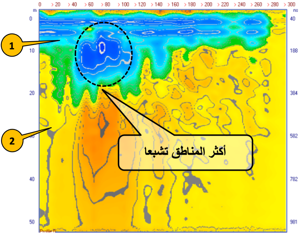
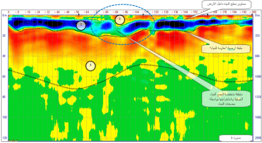
Radargram Interpretation:
Area of interest is clearly spotted which shows positively the existence of underground structure.